Tel: +421 902 385 270 Email: info@xplore4d.sk
Our mission is to deliver accurate and detailed geospatial information through the latest technologies, enabling effective planning and sustainable land management. By combining a wide range of advanced methods and data sources—including LiDAR, UAVs (drones), and satellite imagery—we provide comprehensive analyses and practical, data-driven solutions. Our services generate economic, social, and environmental value by promoting sustainability, protecting biodiversity, reducing the risks associated with natural disasters, and supporting climate change adaptation. We offer a broad portfolio of services, ranging from forest ecosystem and wildlife monitoring to surveying, building digitalization, and the documentation of cultural heritage assets. Our vision is to bridge science, technology, and real-world applications, delivering comprehensive solutions that empower informed, data-driven decision-making.
Explore Our Professional Solutions in Research, Monitoring, and Advanced Technologies

Professional scientific solutions for forestry, landscapes, and spatial planning. From methodology design to data interpretation and actionable insights.

Monitoring wildlife populations, movement patterns, and spatial behaviour using advanced technologies, thermal imaging, and artificial intelligence.

Accurate data on the condition, structure, and development of forest stands. From individual trees to entire landscapes.

Identification of high-risk areas, damage assessment, and preparation of data to support prevention, recovery, and sustainable land management.

Quantification of carbon stocks and assessment of the ability of forest ecosystems to adapt to changing climatic conditions.

Creation of spatial data solutions for efficient planning of transport, infrastructure, recreation, and land use.

Digitalization of structures, buildings, and heritage sites into precise 3D models used for documentation, restoration, management, and presentation.

Accurate surveying measurements and digital outputs for design, construction, land management, and structural monitoring.

Professional training programs and interactive educational solutions for companies, schools, research teams, and public institutions.

Sales and rental of technologies for the collection, processing, and visualization of spatial data, including professional consulting and technical support.
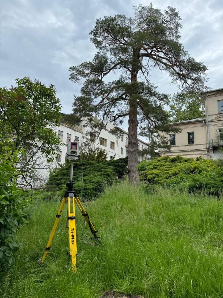
Using advanced 3D technologies, we collect detailed and objective information about landscapes, structures, and the natural environment.
We transform extensive datasets into clear and actionable outputs that support both strategic and operational decision-making.
Our solutions enable efficient use of natural resources, ecosystem protection, and continuous monitoring of environmental changes over time.
We combine scientific research with real-world applications to create solutions delivering tangible economic, environmental, and social benefits.



Interested in how Xplore 4D can support your projects? We offer the opportunity to test our technology – from 3D data processing and AI-powered analysis to digital twins of landscapes and infrastructure. Simply fill out the form below, and our team will get in touch with details on how you can experience Xplore 4D in practice.