Tel: +421 902 385 270 Email: info@xplore4d.sk
We deliver professional solutions in monitoring, digitalization, surveying, research, and landscape planning. By leveraging advanced technologies and accurate data, we support informed, efficient, and sustainable decision-making.









Within our Science & Research division, we deliver comprehensive scientific studies, technical reports, and analytical assessments that provide a reliable foundation for strategic decision-making across industry, academia, and the public sector. We develop methodologies, measurement protocols, and operational workflows for the acquisition and processing of geospatial data, including field validation and quality assurance. Our team manages scientific and applied research projects from experimental design and data collection through advanced analysis, interpretation, and impact assessment. By integrating LiDAR, UAVs, satellite imagery, and surveying data with advanced spatial analysis and modelling techniques, we produce accurate, reliable, and reproducible results. Our deliverables include technical reports, methodological guidelines, scientific publications, presentations, and geospatial data products ready for immediate application in land management, environmental protection, and both fundamental and applied research projects.
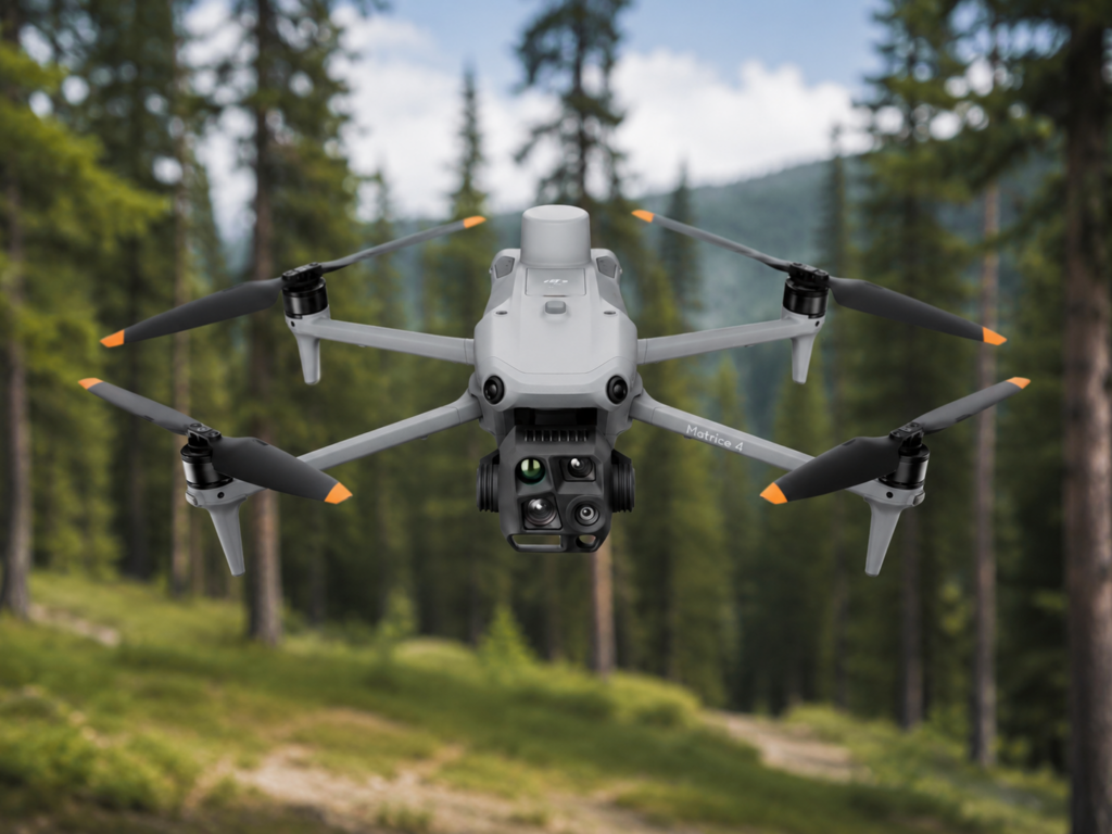
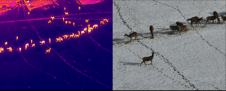
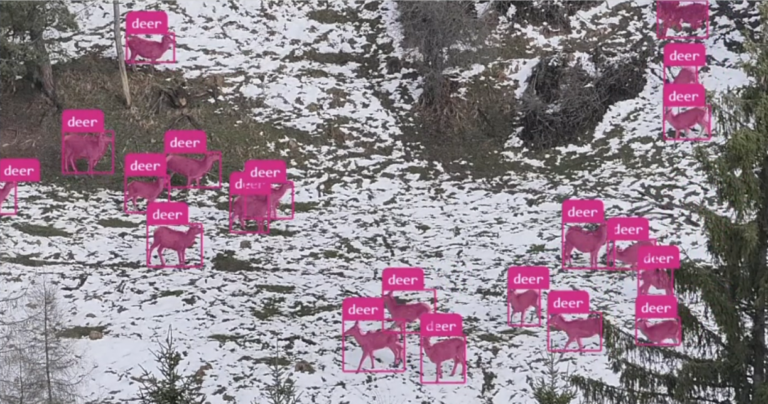
Within our Wildlife Monitoring services, we monitor wild animal populations, including their abundance, spatial distribution, and seasonal movements across landscapes. We use UAVs equipped with thermal sensors combined with advanced data analysis, enabling efficient wildlife detection even under challenging conditions while minimizing disturbance. The collected data are processed into clear maps and reports that support wildlife management planning, habitat conservation, and sustainable land management. Our services also include the assessment of wildlife-related damage in forest stands and agricultural areas, including the identification of high-risk locations. We focus on habitat mapping, ecological corridors, and critical zones to support biodiversity conservation and reduce human–wildlife conflicts.

Within our Forest Ecosystem Monitoring services, we provide a detailed 3D perspective on forest structure and condition, from individual trees to entire forest landscapes. We combine LiDAR, UAV photogrammetry, multispectral, and satellite data to assess tree health, drought stress, pest damage, and changes over time. Using point clouds and remote sensing data, we derive key forest parameters such as tree height, diameter, volume, stand density, spatial variability, and potential economic value. We calculate biomass and carbon balances, providing essential data for sustainable forest management and carbon credit projects. Our outputs include maps, GIS layers, forest inventory reports, and digital forest twins that support precise planning of interventions and long-term landscape management.
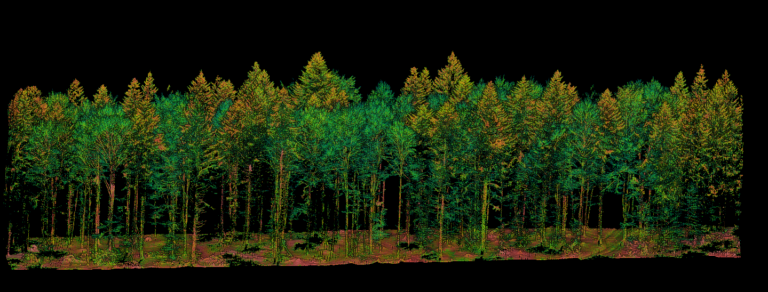
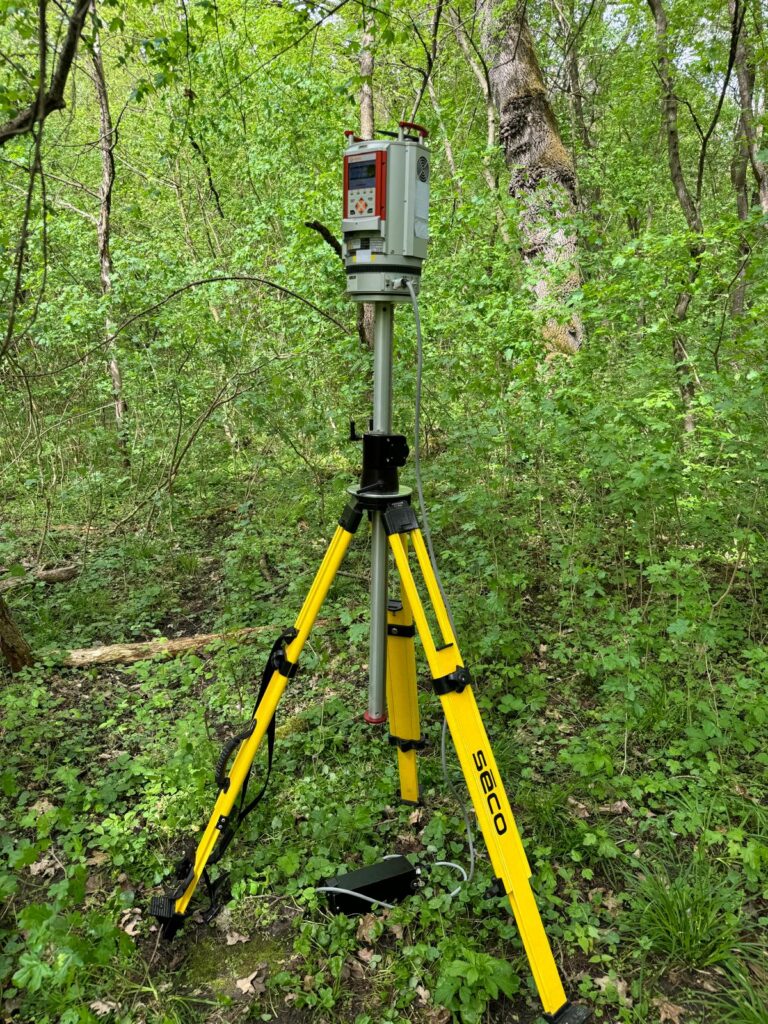
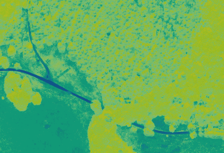
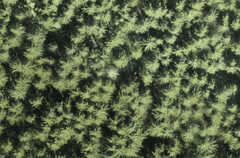

In this category, we identify and assess natural hazards affecting landscapes and built-up areas, including wildfires, floods, landslides, erosion, windthrow events, and snow damage. We integrate LiDAR, UAV, satellite data, and field measurements to accurately identify high-risk zones, vulnerable infrastructure, and areas with increased exposure to natural threats. We create susceptibility maps and scenario-based models that support preventive planning, climate change adaptation, and emergency management. Following natural events, we provide rapid monitoring and post-event analyses to assess the extent of damage and develop recommendations for landscape recovery. Our outputs include thematic maps, GIS layers, analytical reports, and decision-support materials that improve the resilience of landscapes, forests, and communities.
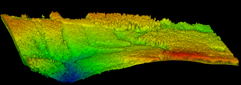
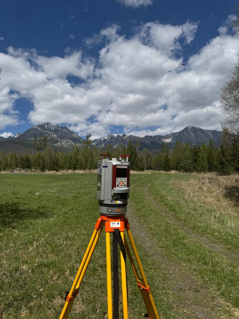
Within this category, we provide accurate data for carbon management and climate adaptation planning, with a particular focus on forest ecosystems. We calculate carbon stocks, biomass, and carbon sequestration based on 3D data, forest inventory information, and satellite monitoring, ensuring that results are verifiable and suitable for carbon credit projects. We assess the climate resilience of forest stands and landscapes, identify stress factors such as drought and heat stress, and develop future development scenarios under different environmental conditions. These analyses are complemented by microclimatic measurements, including temperature, humidity, and wind monitoring, providing deeper insight into local environmental processes. Our outputs include maps, analytical reports, and management recommendations that support sustainability and improve preparedness for the impacts of climate change.
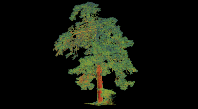
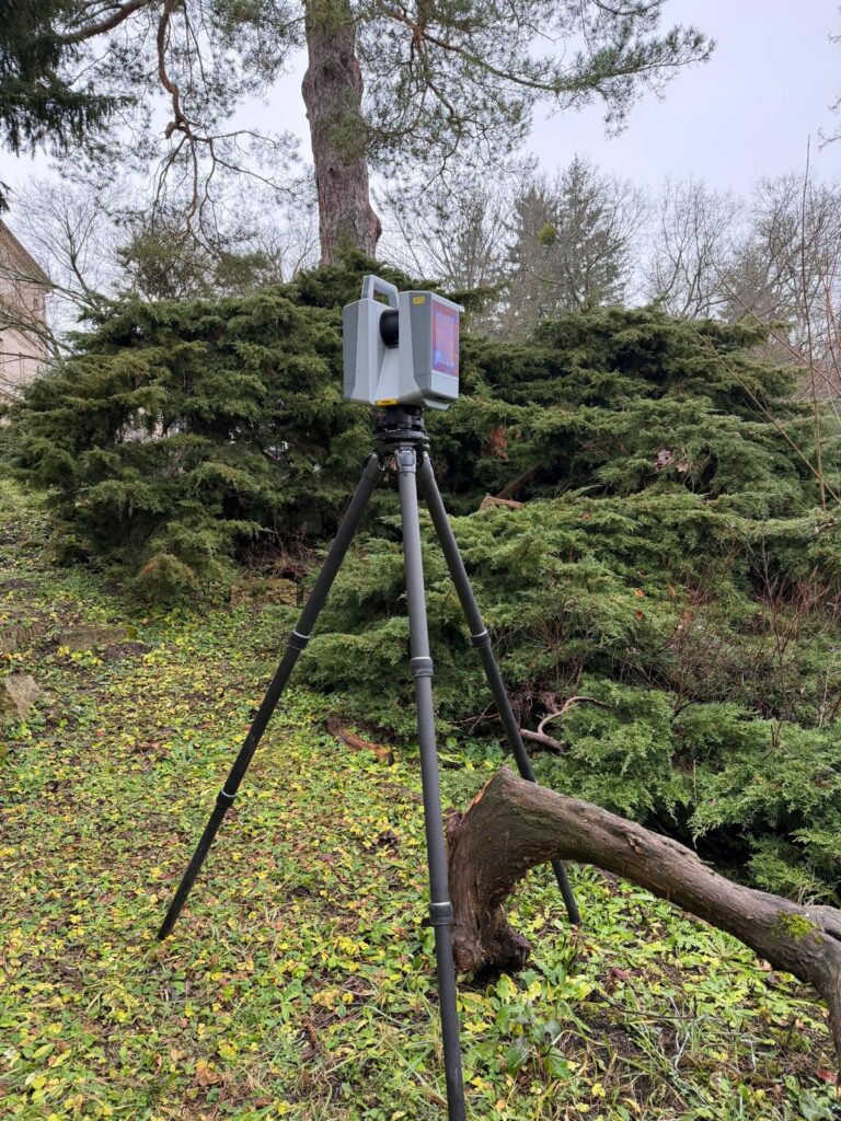
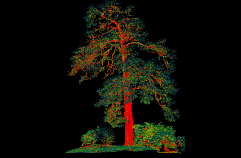
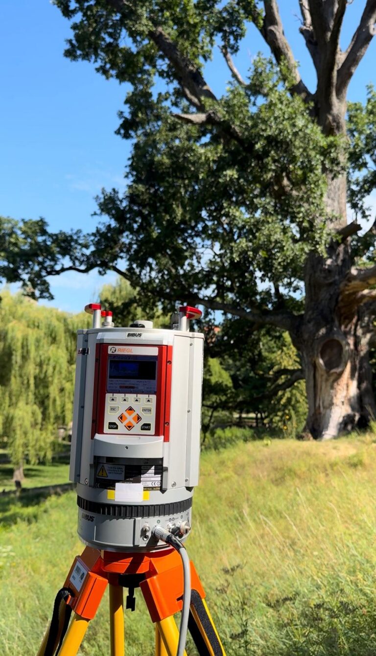
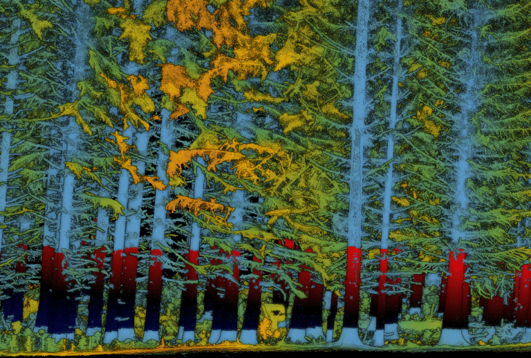
In this section, we provide accurate spatial data and analytical solutions for landscape planning and management, with a focus on functional landscapes, accessibility, and infrastructure. We use 3D data, surveying measurements, and spatial analyses to support route planning, condition assessment, and optimization of networks such as forest roads, access routes, water features, and technical infrastructure. We identify critical areas, land-use conflicts, and opportunities for improvement, developing solutions that balance economic, ecological, and recreational needs. We prepare spatial datasets for infrastructure design, maintenance, and restoration, including terrain modelling and surface water flow analysis. Our outputs include GIS layers, 3D models, thematic maps, and expert recommendations that accelerate decision-making and improve the quality of planning in both natural landscapes and urban areas.
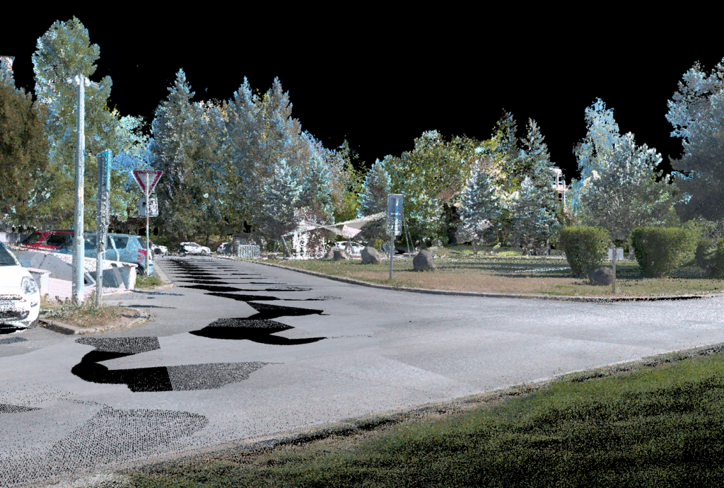
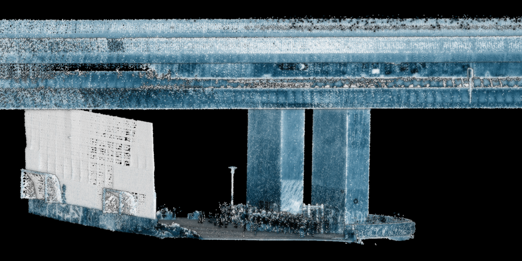
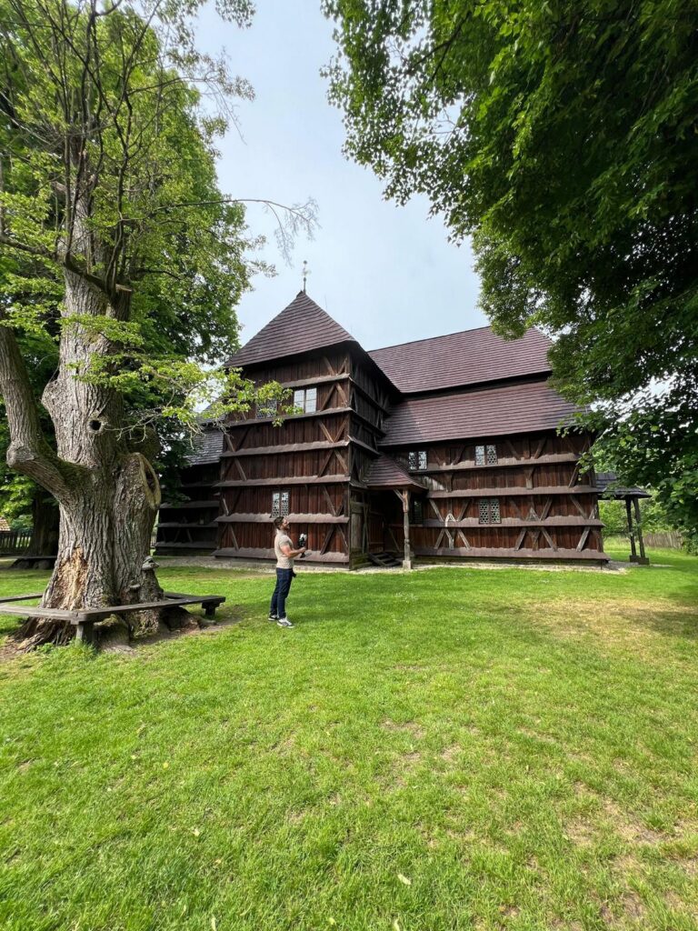
Within this section, we create accurate digital documentation of buildings, monuments, and cultural heritage sites, providing valuable data for restoration, management, and presentation purposes. We combine LiDAR and photogrammetry to generate detailed 3D models of structures and surrounding areas, including façades, interiors, and technical elements. From point clouds, we produce Scan-to-BIM outputs, converting captured data into BIM models for reconstruction planning, asset management, and multidisciplinary coordination. The results are complemented by virtual tours and interactive visualizations suitable for communication with clients, specialists, and the public. When required, we also develop VR presentations that support decision-making, public consultations, and modern approaches to cultural heritage presentation.
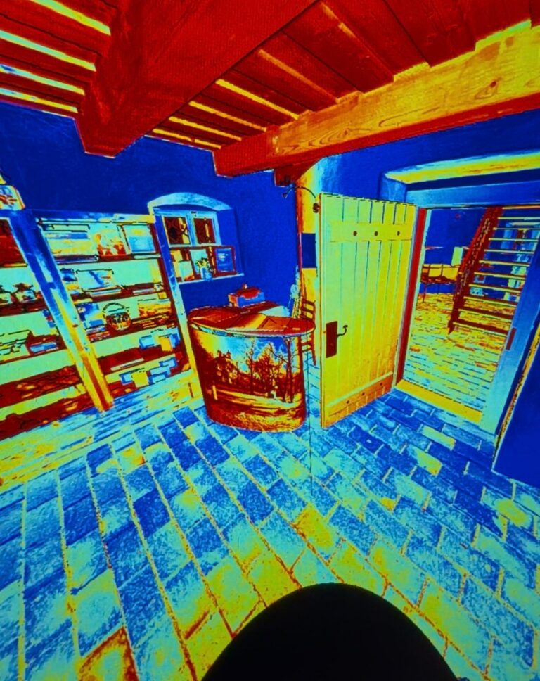
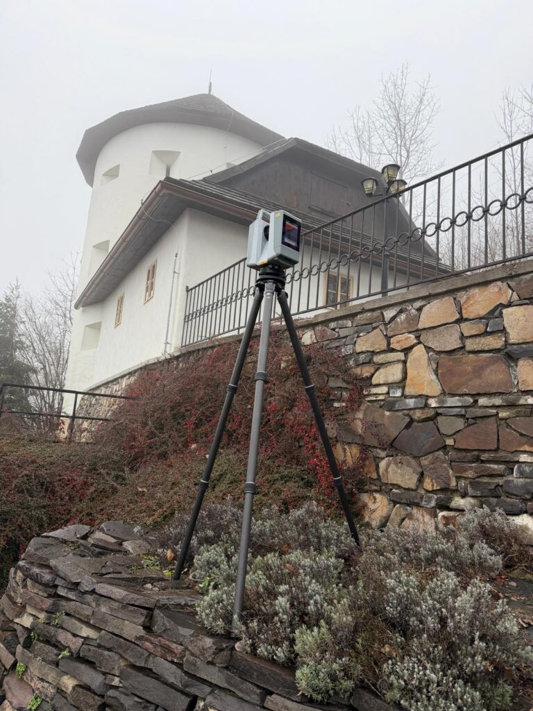
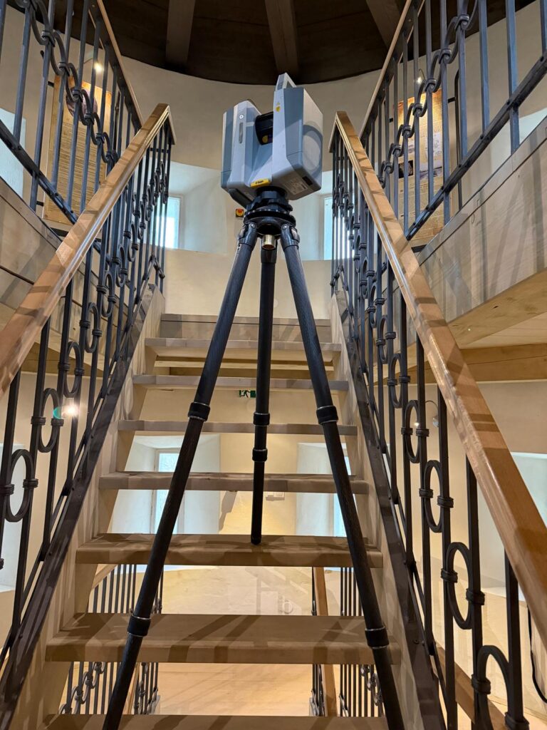
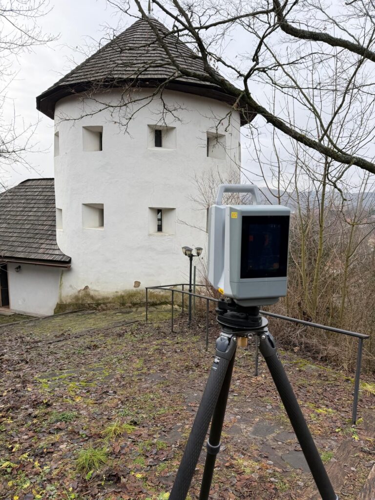
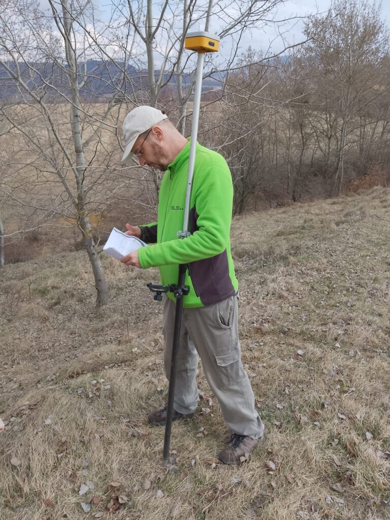
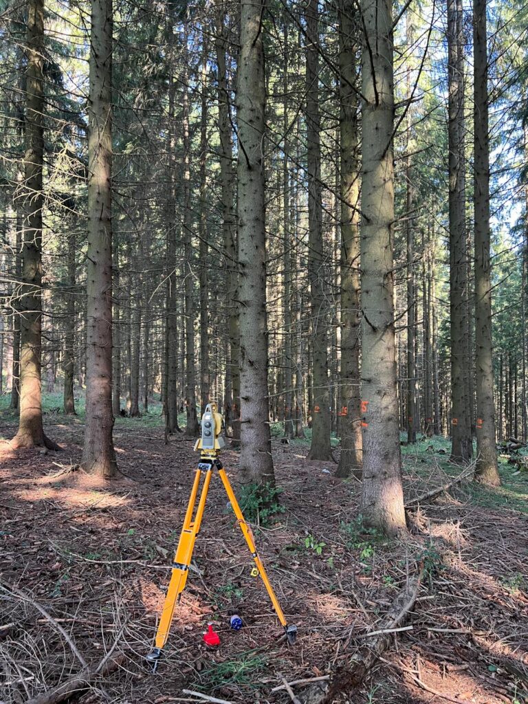
In this section, we provide comprehensive surveying services for design, construction, and property-related purposes, from initial measurements to final deliverables for project completion. We perform planimetric and altimetric surveys, as-built surveys, construction setting-out, and engineering surveying throughout the construction process, including control measurements. We carry out high-precision GNSS measurements and setting-out works, as well as monitoring of structural movements and deformations when required. For larger areas, we also use UAV-based RTK surveying, enabling the rapid creation of orthophotos, digital terrain models, and 3D models.
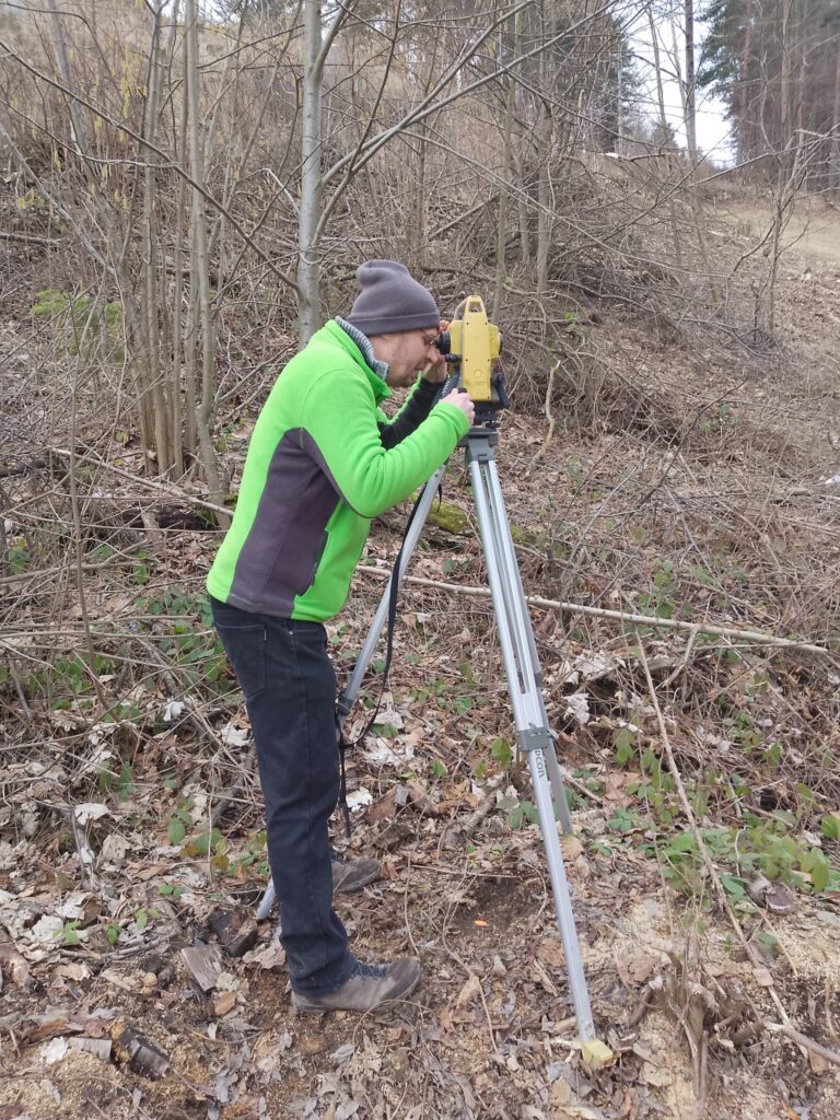
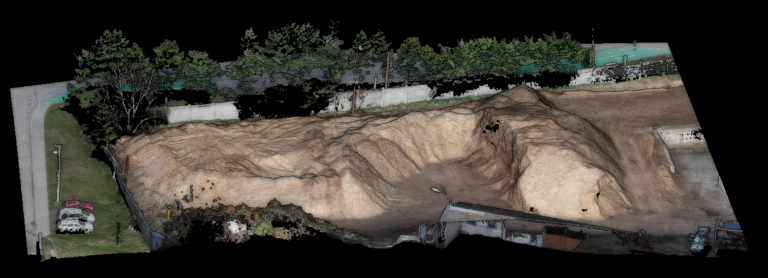
Within our Education and Training section, we provide professional courses and practical workshops focused on modern geospatial technologies and spatial data processing. We teach complete workflows, from field data acquisition to processing, analysis, and the creation of professional outputs in GIS and 3D environments. We specialize in laser scanning and point cloud processing, UAV-based data acquisition and photogrammetry, including mission planning, safety procedures, and best practices. We also offer training in virtual reality and 3D visualization development, supporting project presentation, communication, and decision-making processes. Our training programs are tailored to specific target groups, including companies, municipalities, schools, and research teams. They can also be complemented by consultations and project-based mentoring.
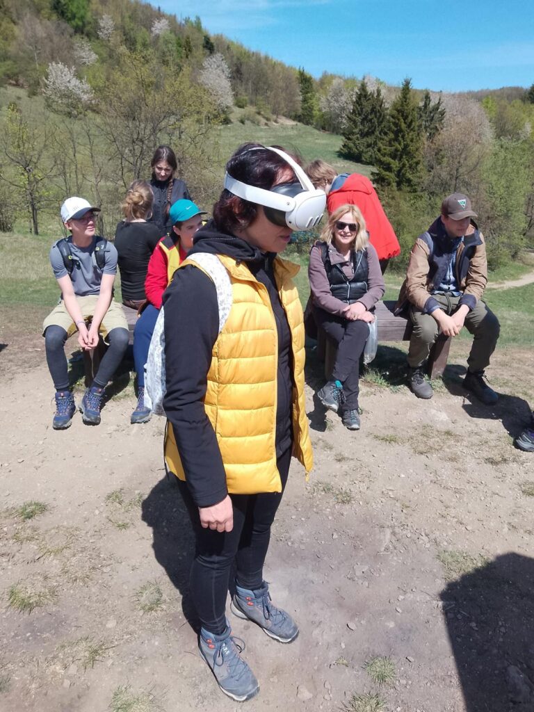

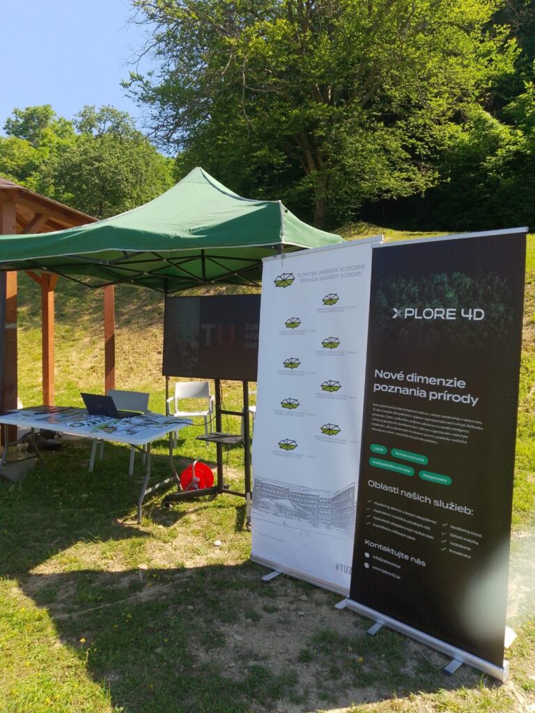
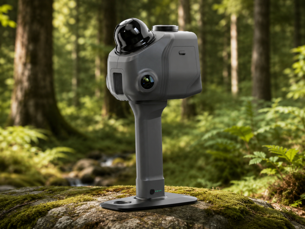
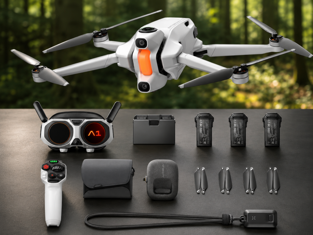
Our company specializes in the sales and rental of advanced technological solutions for the acquisition, processing, and visualization of spatial data. In addition to data collection technologies, we provide solutions designed for modern data presentation and visualization, particularly through virtual reality, interactive applications, and digital models. We enable our clients not only to collect accurate spatial data but also to effectively utilize it for presentation, decision-making, planning, and education. Our services also include equipment rental, which is ideal for one-time projects, technology testing, or short-term surveying campaigns without the need for significant investment in expensive equipment.