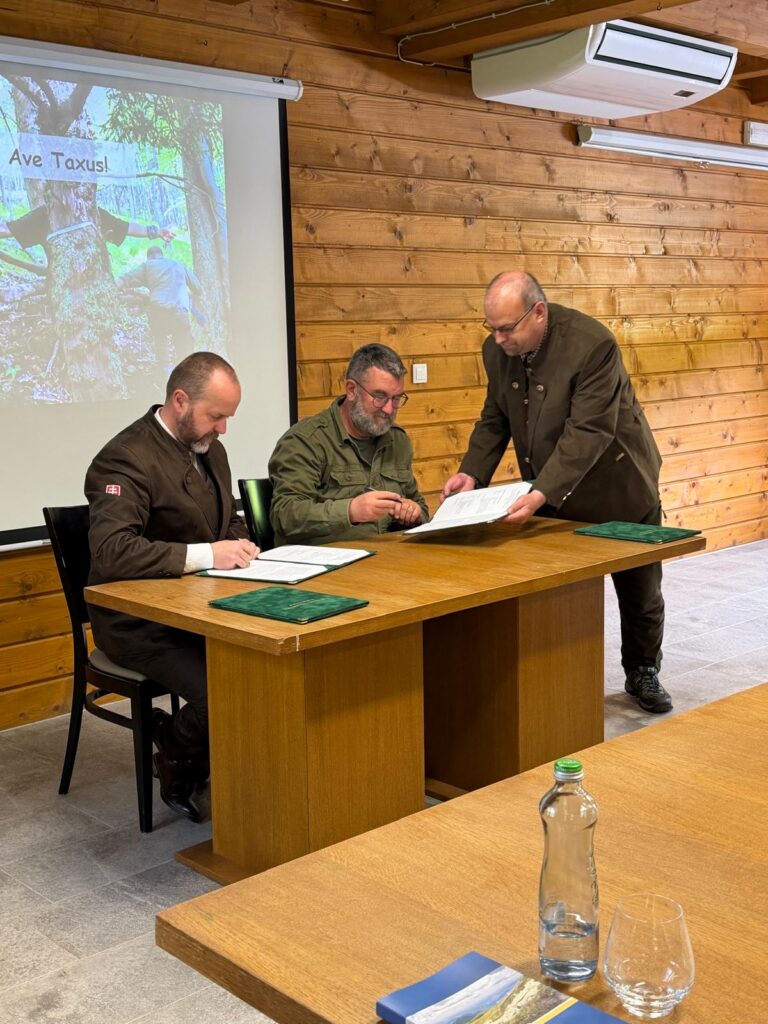
Our company has become part of the international GEO-TREES initiative, which aims to establish a global reference system for the most accurate possible assessment of biomass and carbon stored in the world’s forests.
GEO-TREES brings together scientists, research institutions, and experts from around the world to establish a network of reference forest sites where conventional field measurements will be combined with state-of-the-art remote sensing and 3D digitisation technologies. The project envisages more than 100 reference sites representing a wide range of forest types across the globe.
One of the major challenges in global forest assessment is the uncertainty associated with estimating biomass and carbon stocks from satellite data. GEO-TREES addresses this challenge by generating high-quality reference data collected directly within forest stands, enabling satellite-based biomass and carbon stock models to be calibrated and validated.
The monitoring approach combines multiple levels of data collection:
🌲 detailed tree inventories,
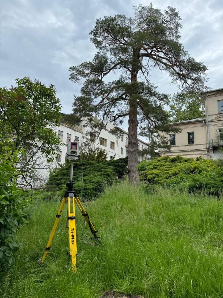
📡 terrestrial laser scanning (TLS),
🚁 airborne LiDAR scanning,
🛰️ satellite Earth observation,
📊 3D modelling and analysis of forest structure.
Terrestrial laser scanning enables the spatial structure of trees to be captured in exceptional detail and precise 3D models to be created. These models can be used to determine woody volume and other parameters required for more accurate estimates of above-ground biomass. Airborne LiDAR can then extend this information from individual research plots to much larger areas.
We believe that the future of forest monitoring lies in the integration of field measurements, 3D scanning, LiDAR, and advanced spatial data processing.
For Xplore4D, participation in this international collaboration represents another step towards connecting science, modern technologies, and practical solutions for environmental monitoring.
The ultimate goal of GEO-TREES is to establish an open and sustainable global system of high-quality reference data that will contribute to more accurate monitoring of forest biomass, carbon stocks, and their changes over time.