
Tel: +421 902 385 270 Email: info@xplore4d.sk
From Reality to Digital Intelligence
Xplore 4D is a technology company focused on the acquisition, processing, analysis, and visualization of spatial data using advanced unmanned systems, laser scanning, photogrammetry, surveying technologies, and advanced data analytics. Our goal is not simply to use state-of-the-art equipment, but, above all, to transform the data we collect into accurate, reliable, and practically valuable information for our clients.
Behind every project is a qualified team of professionals holding the necessary authorizations and demonstrating the required professional competence. Our unmanned aircraft pilots have completed the required examinations for the A1/A3, A2, and STS categories and possess the relevant competencies for operations conducted under STS standard scenarios. This enables us to carry out technically and operationally demanding aerial operations while complying with applicable legislation and maintaining high safety standards. Our team also includes specialists in engineering surveying and the cadastre of real estate, allowing us to combine modern spatial data acquisition methods with professional surveying practices and ensure a high level of accuracy in our final outputs.
The quality of our services is supported by clearly defined processes and a comprehensive management system. The company operates in accordance with the ISO 9001 Quality Management System and the ISO 14001 Environmental Management System. We have also implemented our own Compliance Management System, through which we ensure compliance with legal, ethical, safety, and internal requirements throughout our operations. In every project, we place strong emphasis on safety, data protection, process transparency, the quality of deliverables, and a responsible approach to the environment.
We use professional equipment and technologies designed for the precise acquisition of spatial data. Our technological portfolio includes advanced unmanned aircraft, LiDAR systems, terrestrial and mobile laser scanners, professional GNSS and RTK equipment, photogrammetric systems, multispectral and other specialized sensors. However, we do not consider technology alone to be a guarantee of a high-quality result. We therefore combine it with expert data acquisition planning, rigorous quality control, advanced data processing, automated analysis, and professional interpretation of results.
An important part of our activities is also the integration of commercial practice with science and research. We have long-standing collaborations with renowned universities, scientific institutions, and research organizations in Slovakia and abroad. This enables us to bring the latest knowledge and developments in remote sensing, unmanned technologies, surveying, 3D laser scanning, artificial intelligence, automated data processing, and environmental monitoring into practical applications. At the same time, we participate in the development, testing, and validation of new technological and methodological solutions.
We approach every project individually. We first seek to understand our client’s specific needs and then design the most appropriate combination of technologies, data acquisition methods, and processing techniques. We can provide the entire workflow, from planning and field data acquisition through processing and analysis to the creation of maps, 3D models, digital twins, technical reports, databases, and interactive visualizations. Our goal is to deliver solutions that are not only technologically advanced, but, above all, accurate, reliable, and practically useful.

Founder and Managing Director
Executive Director


Research Scientist
Research Scientist
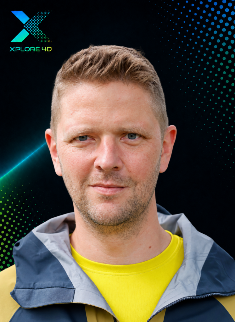

Research Scientist
Project Manager


Project Manager
Project Specialist


Project Specialist
Project Specialist


Project Specialist
Licensed Surveyor and Cartographer
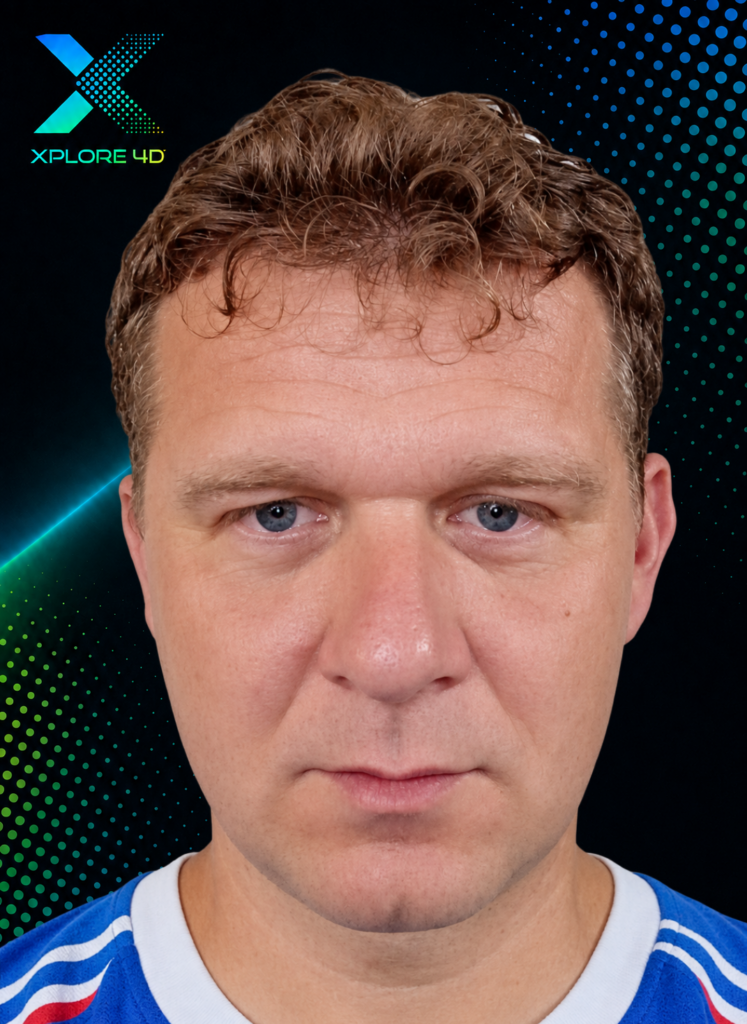
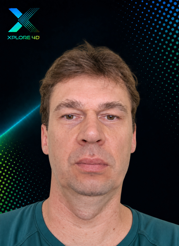
Geodetic and Cartographic Engineer
Cartographer and Geodetic Technician